
Real-Time Digital Twins For Every Land Parcel On Earth

Get Started

Precision Agriculture

Reduce Costs ThroughSatellite Intelligence

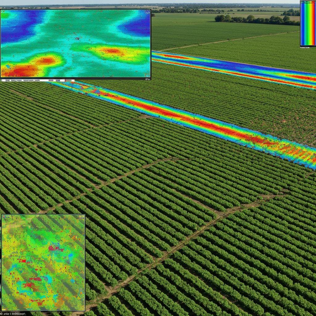
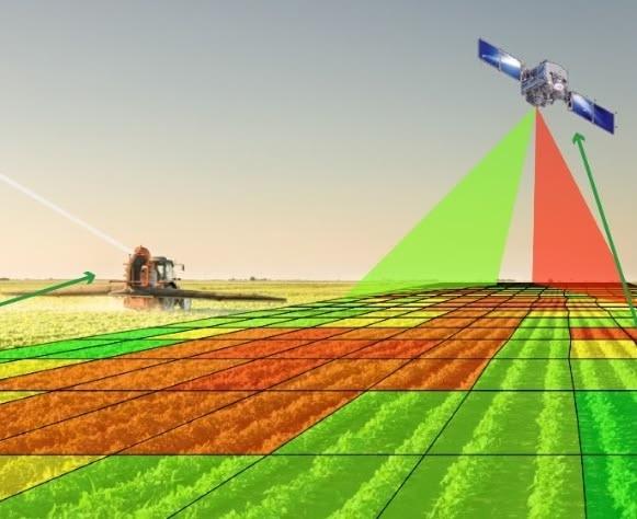
Implement precision agriculture through satellite monitoring to identify areas with crop abnormalities or water shortages. Irrigate and apply materials only in the areas where needed, reducing unnecessary costs and waste by up to 40%.

  • Precision Application

    Apply inputs only where needed, reducing waste by up to 40%

    40%

    Cost Reduction

  • Early Detection

    Detect crop stress weeks before visible symptoms appear

    21-45

    Days Ahead

  • Yield Optimization

    Variable-rate maps optimize input distribution for maximum ROI

    90%+

    Accuracy

View Analytics Example
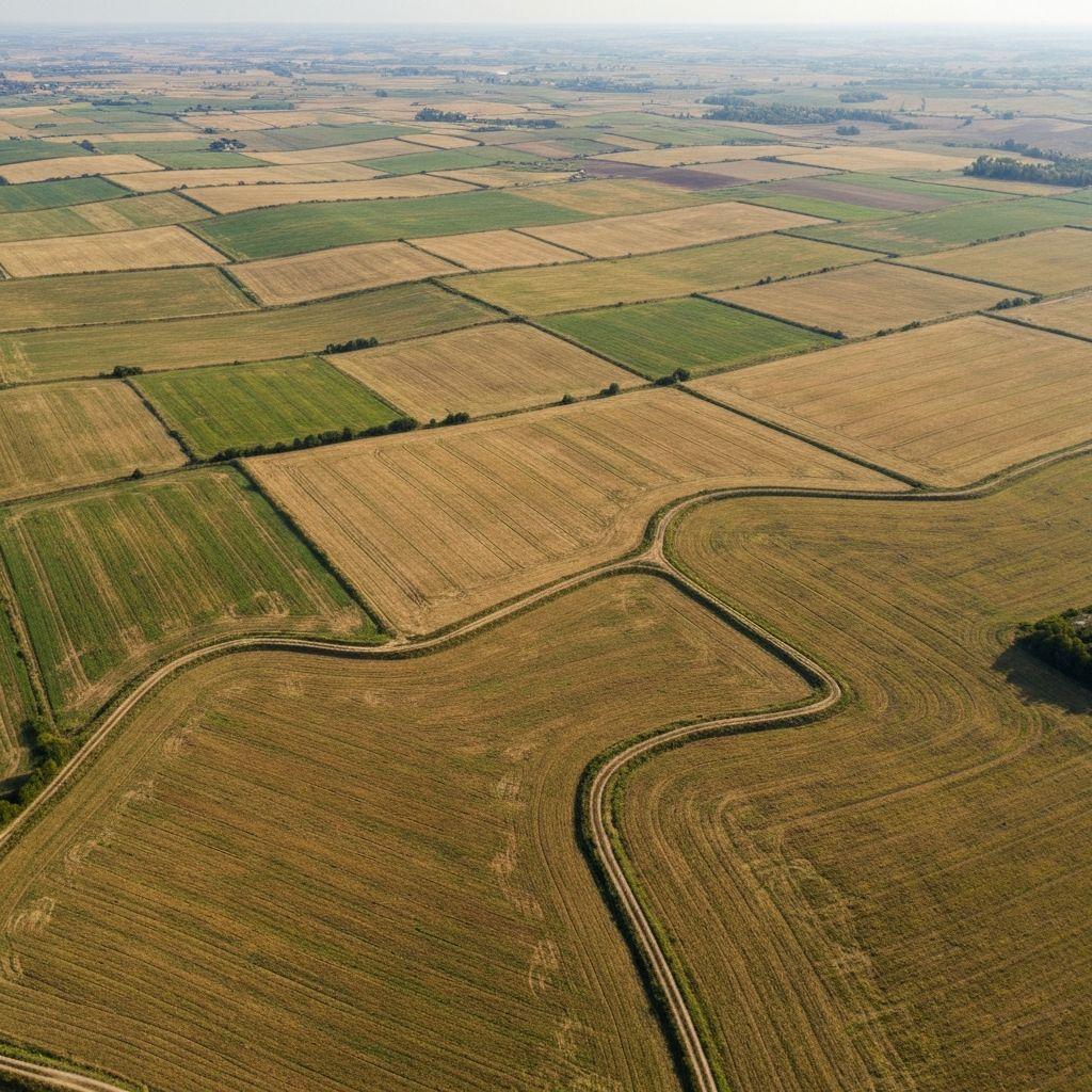
Satellite intelligence supporting precision agriculture and field monitoring

Satellite Intelligence

Satellite-driven field intelligence for precision agriculture and targeted crop management

Satellite-Powered

A Simple Platform toGet Started

No need to spend big money on sensors or additional manpower. Earthasoft's satellite-powered monitoring solution eliminates the need for expensive hardware and unnecessary on-site visits. Monitor your fields online with actionable intelligence delivered directly to your dashboard.

  • No Expensive Sensors

    Satellite-based monitoring eliminates hardware costs

  • No On-Site Visits

    Monitor fields remotely from anywhere, anytime

  • Cloud-Based Platform

    Access your data instantly via web and mobile

Get Started Now
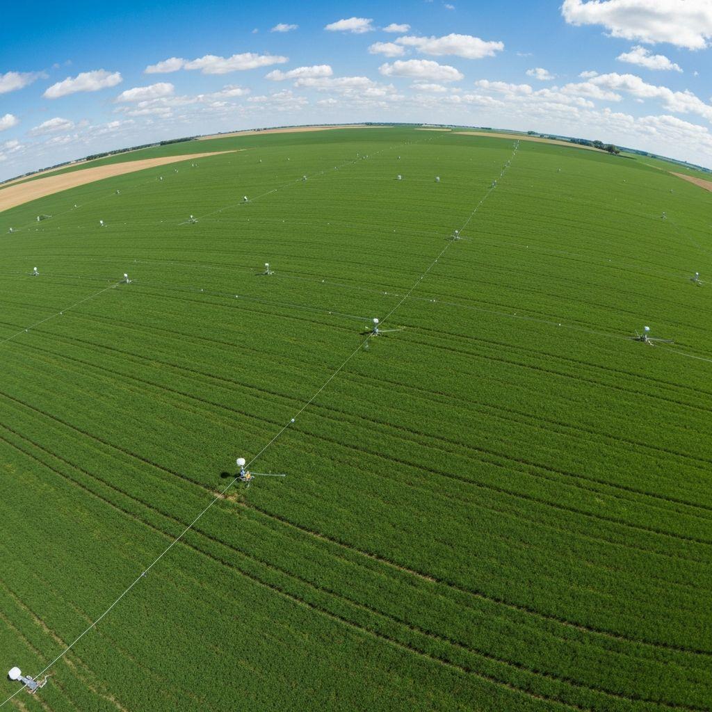
Crop monitoring and digital agriculture intelligence

Crop Monitoring

Digital crop intelligence for healthier crops and better field decisions

Yield Outlook

Identify the OptimalHarvest Period

Earthasoft's platform supports harvest planning by monitoring plant indices, growth stages, and critical periods such as flowering and fruiting. Historical yield outlooks are shown only when sufficient evidence is available, with clear confidence and limitations.

  • 21-45 Days Ahead

    Historical outlooks support pre-harvest planning

  • Growth Stage Tracking

    Monitor from planting through harvest in real-time

  • NDVI & EVI Analysis

    Advanced vegetation indices for precise crop health

View Analytics Example
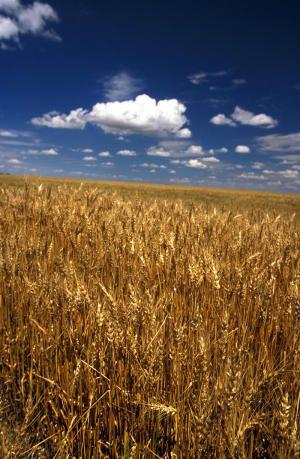
Crop field used for harvest planning and historical yield outlooks

Yield Outlook

Review crop performance evidence to support harvest planning

Pricing

Explore our packages

Compare the tools and services included in each package. Find the right fit for your farm or organization.

BASIC

Discover field monitoring at no cost

Forever Free Gift

Unlimited fields, 5 ha of monitoring, all product features.

No trial clock and no payment required. Upgrade when you need more land.

Choose BASIC if you:

Want to explore field monitoring and basic analytics at no cost.

Basic features:

  • Unlimited fields; 5 ha with full monitoring access
  • Combined area up to 5 ha
  • Free — all product features included
  • Integrated numerical dashboard
  • Multi-indicator sorting management
  • Land indices: NDVI, biomass, health, water content
  • Multi-view comparison & clear timeline curve
  • Global coverage · Weekly updates · 10 × 10 m resolution

The frequency of data updates may vary depending on cloud coverage.

PRO

Field monitoring for making effective decisions

More insights, better decisions

Choose PRO if you:

Need powerful tools to manage your farm efficiently and grow with confidence.

All Basic features, plus:

  • No limit on the number of fields
  • Per-hectare pricing — pay only for the area you monitor
  • Crop indices: nitrogen, seedling monitoring, canopy index
  • Soil indices: soil moisture
  • AI Soil Moisture at 15 cm depth (g/g, %)
  • AI Soil Moisture at 30 cm depth (g/g, %)
  • Crop anomaly alert notification
  • Custom alert settings
  • Global coverage · Weekly updates · 10 × 10 m resolution
WE RECOMMEND

PRO+

Advanced land intelligence tools

Work smarter, improve efficiency

Choose PRO+ if you:

Want full access to advanced monitoring with near-daily updates and high-resolution data.

All PRO features, plus:

  • High-resolution satellite data (3 × 3 m)
  • Near-daily monitoring frequency
  • Instant detection of sub-field anomalies
  • Precise location of anomaly hotspots
  • Daily updates for real-time monitoring
  • Optimized decisions and early risk detection

Enterprise

Customized solutions for large-scale operations

Discover advanced solutions

Connect with our expert to find a perfect plan for your business.

Choose Enterprise if you:

Need a tailored solution with advanced integrations and dedicated support.

All PRO+ features, plus:

  • Custom pricing and terms
  • Designed for farms of over 1,000 hectares
  • API connection for satellite and monitoring data
  • Auto-Marking: heterogeneous zone analysis & boundary export
  • One-click sharing of analysis results with on-site task assignment
  • Priority access to consultation and support
  • Assistance with account setup and onboarding
  • White-label solution under your own brand
  • Dedicated customer success manager

Need a custom solution? Contact our sales team

Our partners

  • CABS
  • TelOne
  • NetOne
  • Seed Co
  • Cottco
  • AFC Holdings
  • ZINGSA
  • TIMB
  • SIRDC
  • Old Mutual

Empowering Collaboration

ExpandingHorizons

Earthasoft partners are at the forefront of bringing next-generation agricultural monitoring to Africa. Together, we explore new markets, unlock novel remote sensing use cases, and deliver tailored geospatial solutions.

Whether it's scaling across sectors or enabling smarter decision-making for enterprises, farmers, and governments, these collaborations expand what's possible for both our partners and the world we serve.

African Countries
15+
Hectares Mapped
1M+
Explore existing partners
Loading map
Partner locations

Join Us

Join Our Partner Network

Be part of our global ecosystem with unparalleled gateways, technical support, and new ways to work with hyperspectral data. Together, we expand what's possible for land intelligence.

Discover opportunities