Parcel foundation
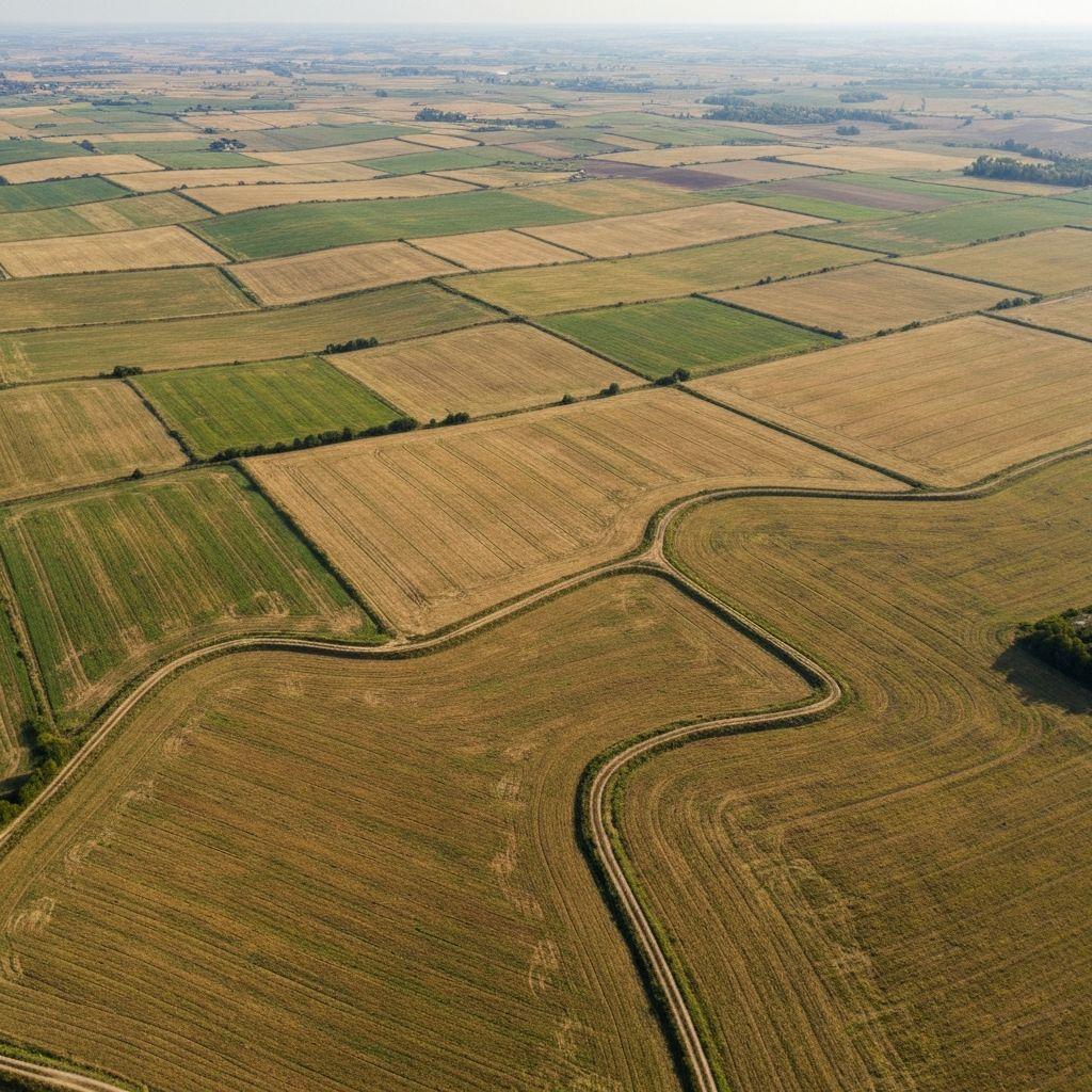
Organize the geometry and identifiers that give observations a place.
Platform approach
Organize the geometry and identifiers that give observations a place.
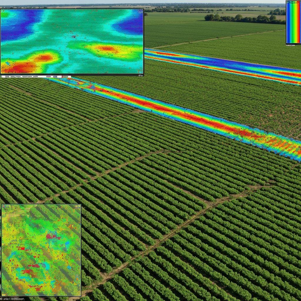
Use repeat satellite and weather inputs to understand change through time.
Connect evidence to people, review states, reports, and permitted actions.
Keep uncertainty, local expertise, and accountable review in the loop.
 Footprint
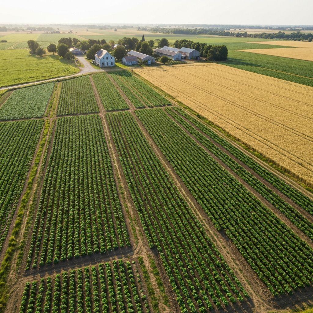
The team behind the Earthasoft land intelligence platform.
12 Cass Avenue, Hillside, Harare, Zimbabwe.
Work with growers, institutions, governments, researchers, and delivery partners around defined problems.
Earthasoft presents product capabilities and intended workflows without inventing customer results, coverage, or guarantees.
Talk with the team about the decision, data, users, and geography behind your workflow.
Contact Earthasoft