Change Detection
Compare observations through time and explain where material field or landscape changes appear.
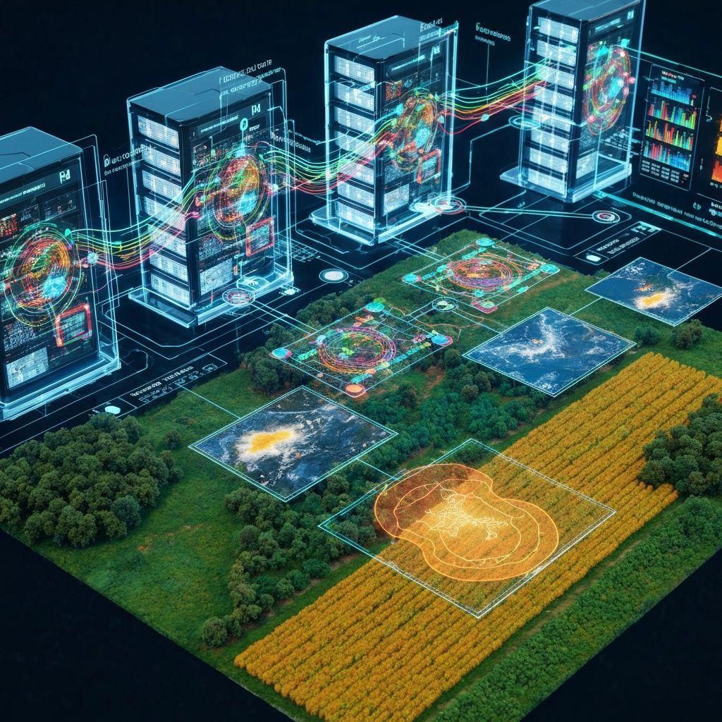
Capabilities
Each capability has a defined operational purpose, expected output, and review boundary.
Compare observations through time and explain where material field or landscape changes appear.
Combine transparent signals into a prioritization score that supports human review rather than replacing it.
Surface observations that differ from field history, neighbouring zones, or expected patterns.
Pilot fit-for-purpose geospatial pipelines using convolutional and transformer-based approaches.
Pilot a review loop that focuses labeling effort on informative and uncertain examples.
Workflow
Choose a field, period, operational decision, and available evidence.
Bring together permitted imagery, indices, weather, water, and activity records.
Generate a structured explanation, uncertainty, and proposed follow-up checks.
Apply human and domain judgment before acting on a recommendation.
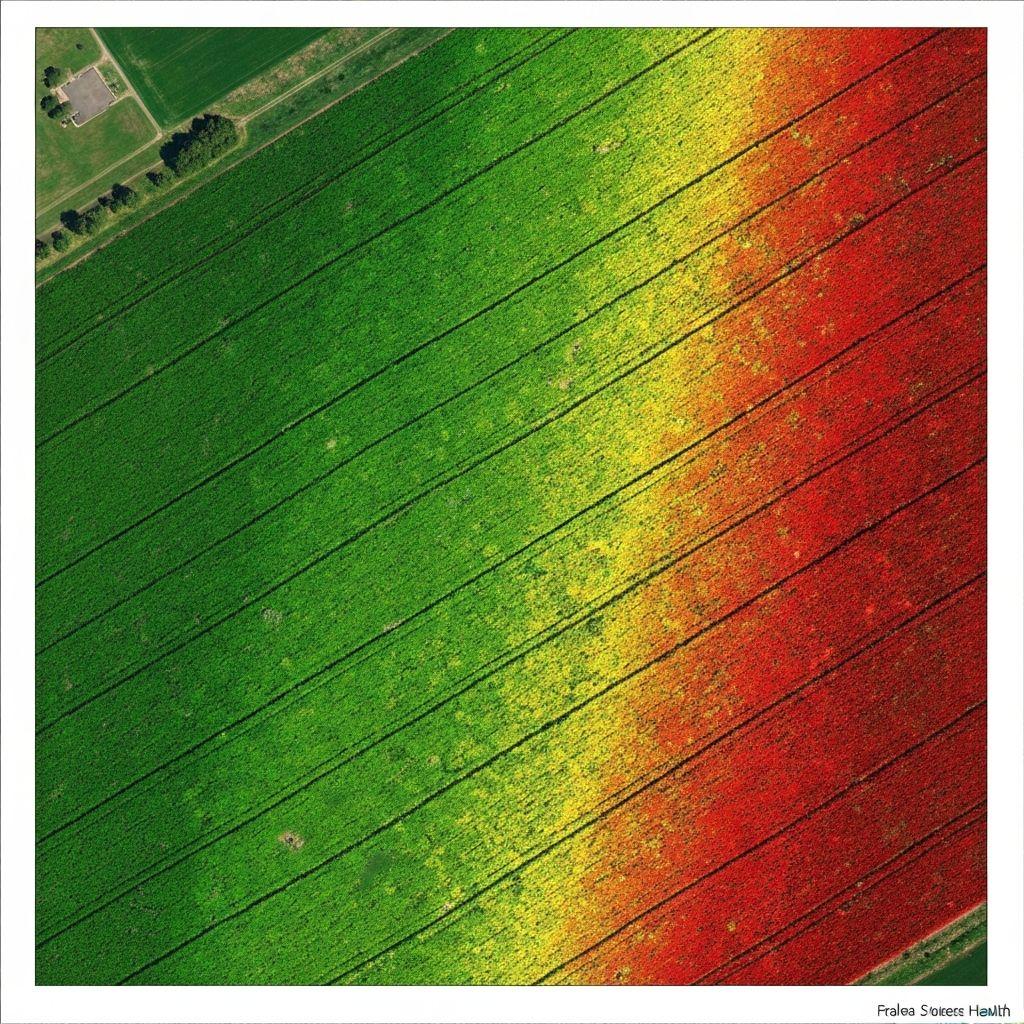
Cella outputs are model-assisted interpretations, not guaranteed diagnoses, forecasts, or professional advice.
Keep exploring
Create an account or sign in to explore the available Earthasoft workflow.
Create an account