Parcel Digitization
Convert drawn, uploaded, or interpreted boundaries into consistent digital parcel records.
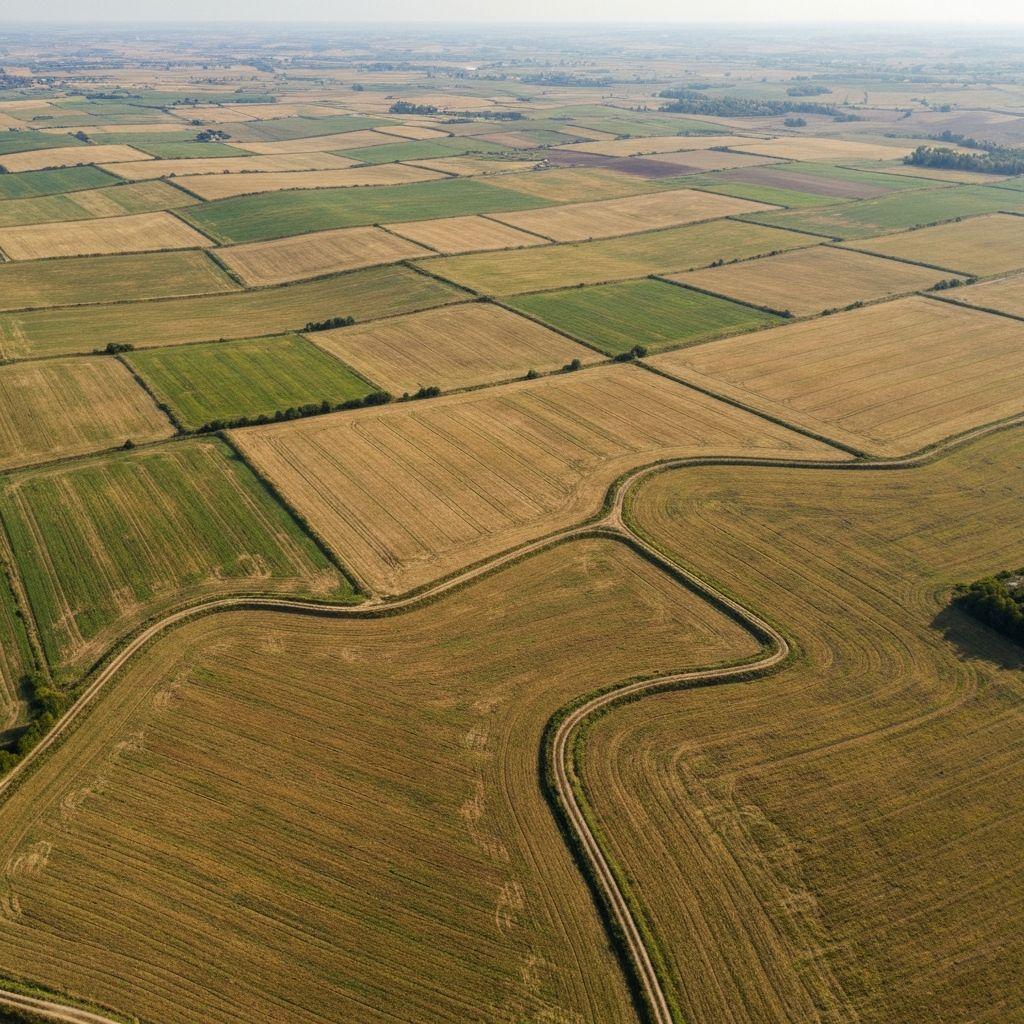
Capabilities
Each capability has a defined operational purpose, expected output, and review boundary.
Convert drawn, uploaded, or interpreted boundaries into consistent digital parcel records.
Use imagery and assisted mapping to propose field or parcel edges for human confirmation.
Surface overlapping boundaries and conflicting parcel assertions for a controlled review process.
Use a stable geospatial identifier to reference a parcel across approved operational systems.
Connect reviewed parcel records with authorized cadastral or land-administration environments.
Bring parcel geometry, identity checks, and monitoring context into agricultural finance review.
Assemble verified farmer and parcel information into a portable operational certificate record.
Coordinate identity, organization, document, and parcel checks for authorized land workflows.
Workflow
Draw, upload, or extract a candidate parcel boundary.
Review geometry, overlaps, identity details, and supporting documents.
Create a persistent parcel record and connect it to authorized people or systems.
Use the verified parcel in monitoring, certification, finance, and reporting workflows.
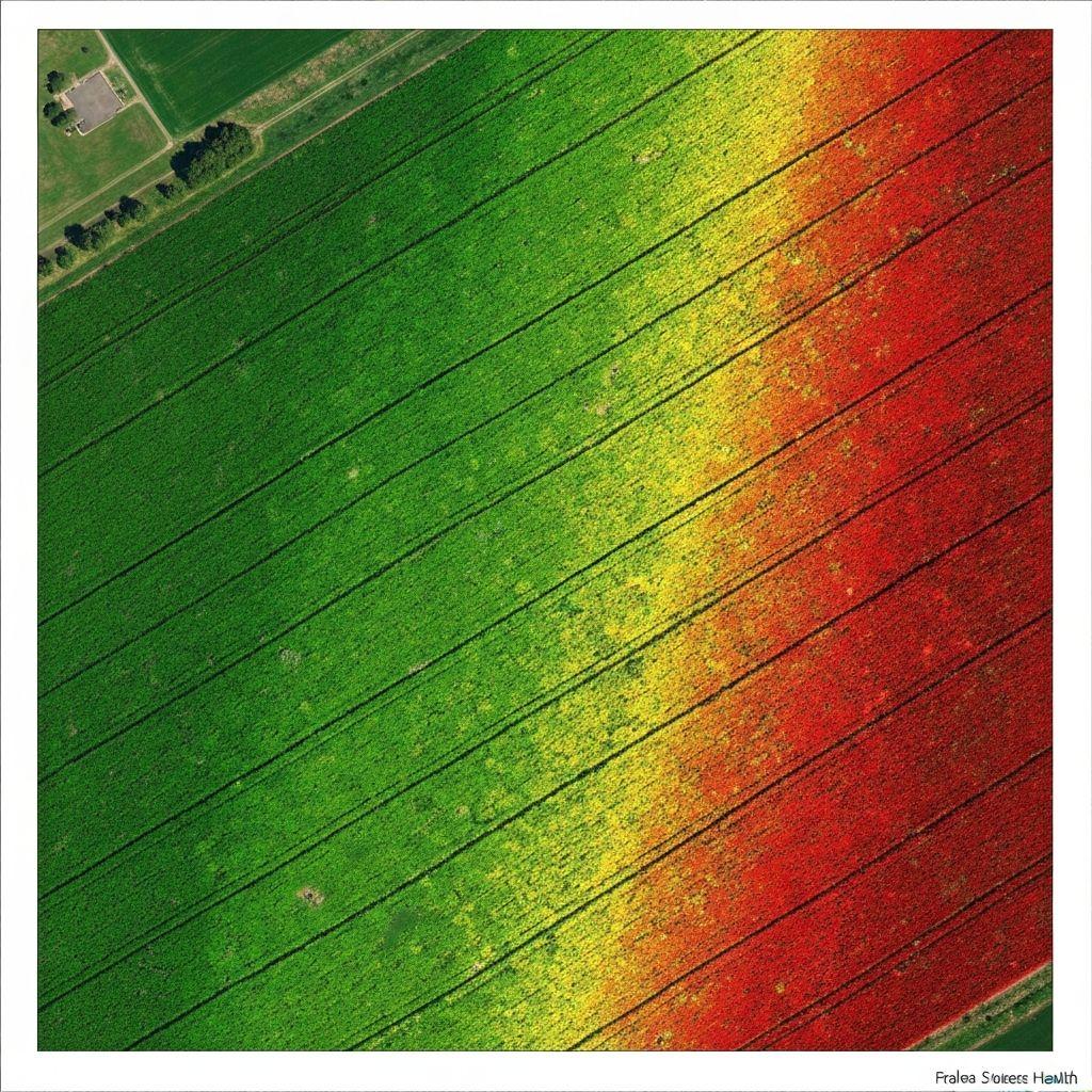
Parcellar supports evidence-led land workflows; it does not create legal title or replace a licensed survey, cadastral authority, court, or statutory registration process.
Create an account or sign in to explore the available Earthasoft workflow.
Create an account