Product update
Enhanced field leaderboard
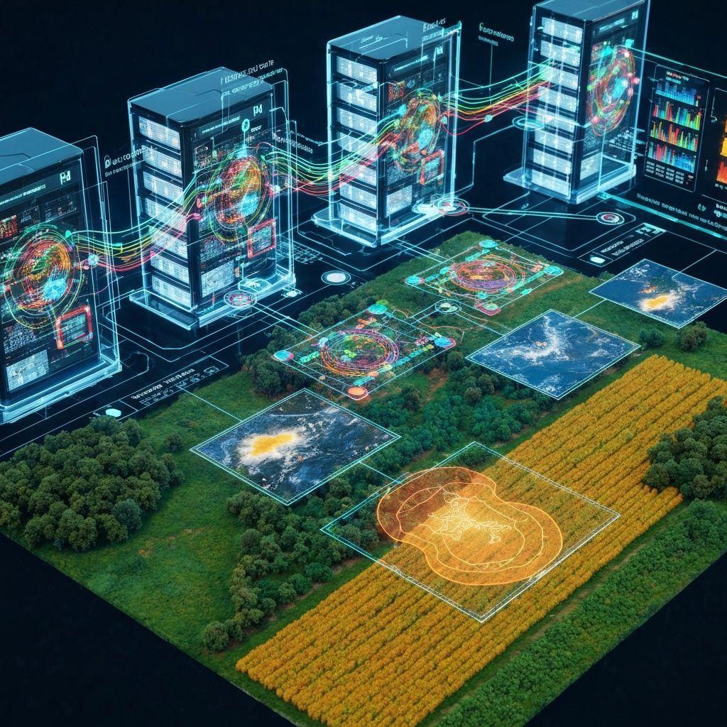
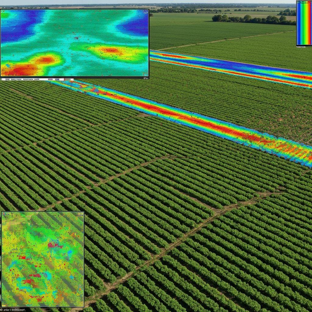
Compare field health and prioritize follow-up from a shared monitoring view.
Product updates
Recent additions and improvements across land, crop, weather, and water workflows.
Product updateCompare field health and prioritize follow-up from a shared monitoring view.
Interpret field-scale vegetation and water indicators with clearer spatial context.
Bring field, weather, water, and crop context into a structured review.
Connect seasonal timing, recorded activity, and weather-aware planning.
Review current, forecast, and historical weather in the context of field decisions.
These summaries describe existing product themes and do not claim customer results or independent validation.
Create an account to explore the available Earthasoft tools.
Explore the platform