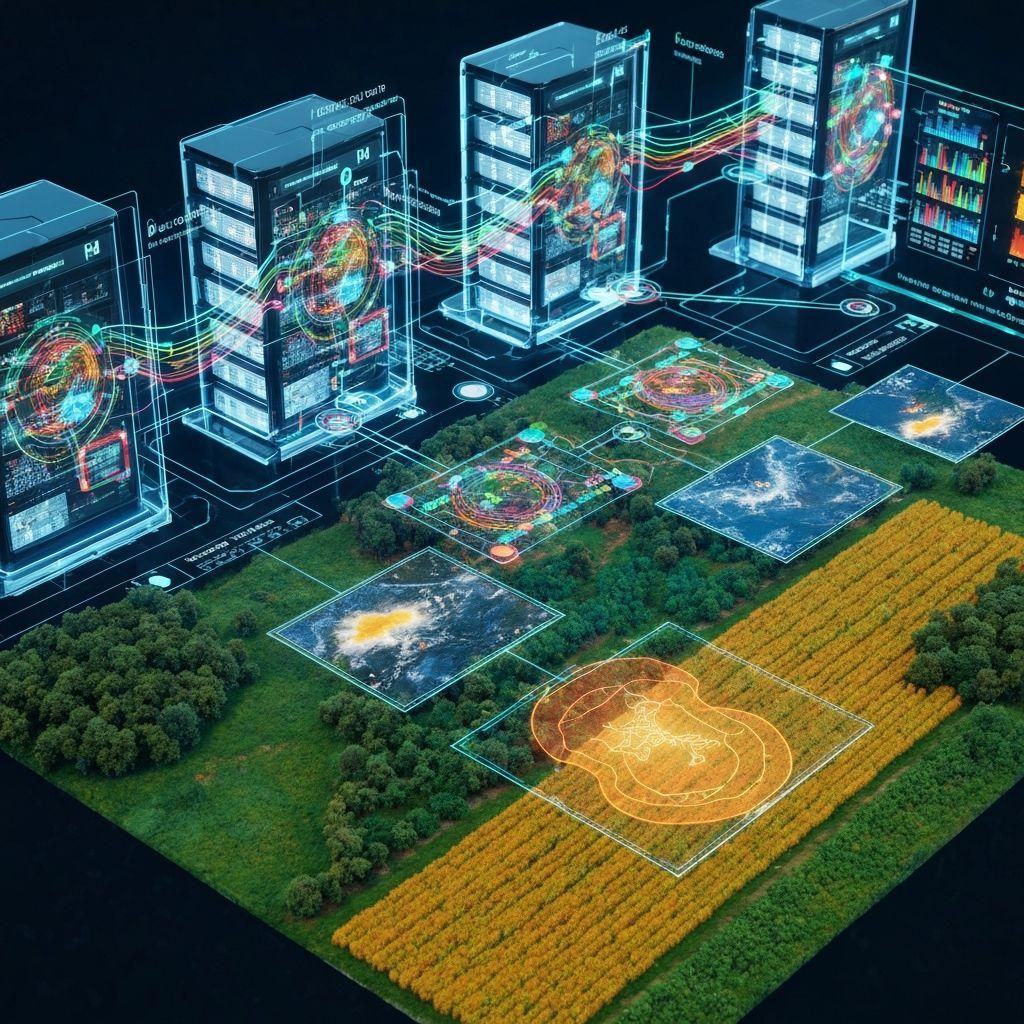
Field monitoring
Compare imagery, indices, and observations throughout the season.
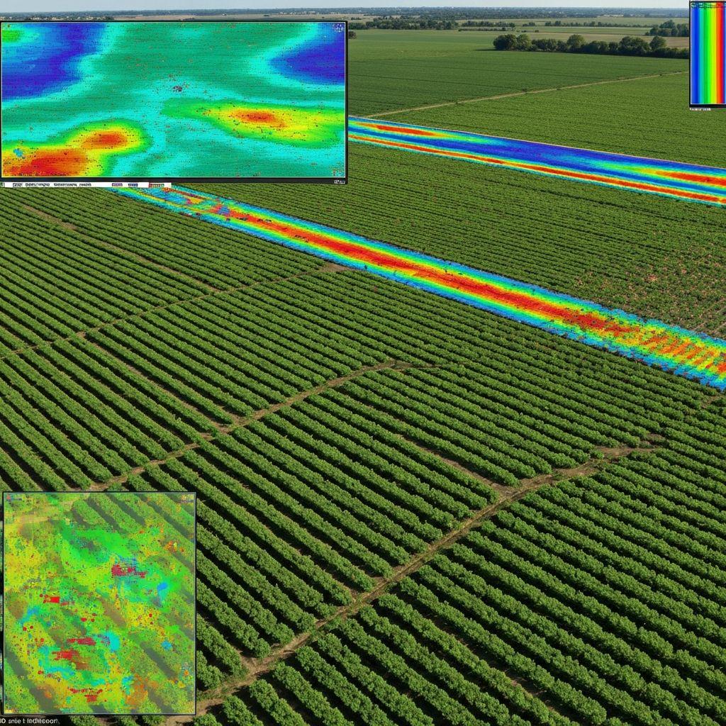
Workflow design
Compare imagery, indices, and observations throughout the season.
Turn unusual signals into targeted field checks and documented action.
Use field history and current conditions to update operational expectations.
Implementation
Define the programme, users, geography, decision, and required evidence.
Map available records, imagery, weather, and approved system interfaces.
Agree thresholds, roles, exceptions, and human decision points.
Track data quality, workflow performance, and real operational outcomes.

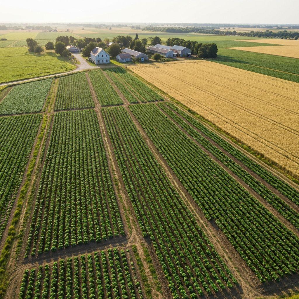 Outcomes
Find areas that warrant field verification sooner.
Keep managers, agronomists, and field teams aligned.
Each deployment should define data authority, lawful use, access, review, retention, and escalation before scale.
Create an account or sign in to explore the available Earthasoft workflow.
Create an account