Land administration
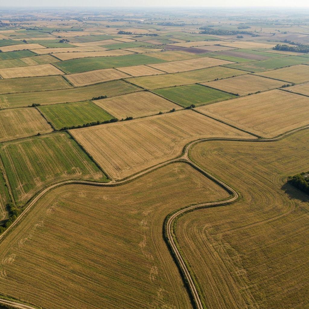
Structure parcel evidence and route exceptions through authorized review.
Workflow design
Structure parcel evidence and route exceptions through authorized review.
Compare field, crop, and environmental signals across target areas.
Build shared situation views from time-stamped, traceable information.
Implementation
Define the programme, users, geography, decision, and required evidence.
Map available records, imagery, weather, and approved system interfaces.
Agree thresholds, roles, exceptions, and human decision points.
Track data quality, workflow performance, and real operational outcomes.

 Outcomes
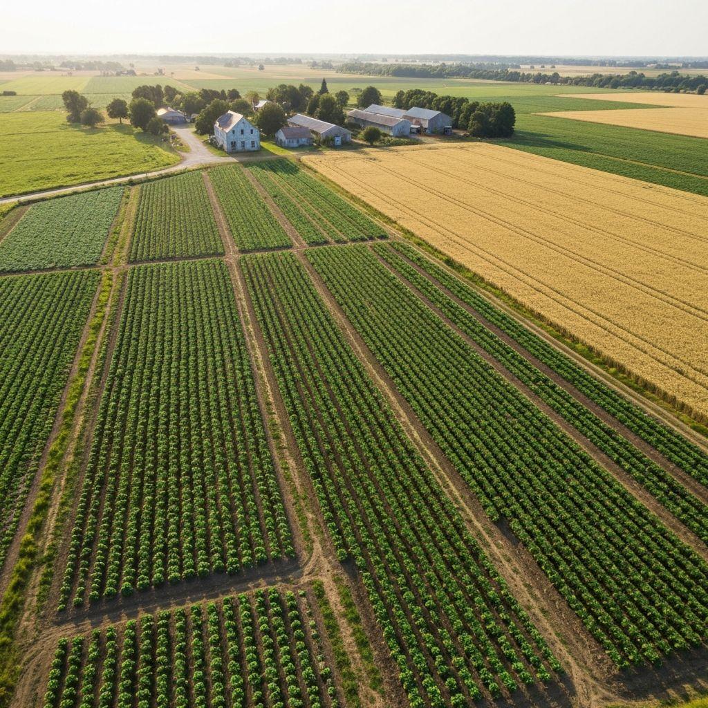
Standardized records that can be reviewed across teams.
Map areas that need verification, support, or investigation.
Each deployment should define data authority, lawful use, access, review, retention, and escalation before scale.
Create an account or sign in to explore the available Earthasoft workflow.
Create an account