Verified spatial context
Start from known parcels, fields, areas, and authorized source records.
Use cases
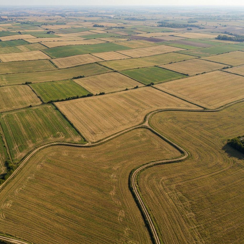
Start from known parcels, fields, areas, and authorized source records.
Compare current observations with relevant historical and seasonal context.
Bring uncertainty, conflicts, and unusual change to the right person.
Operational pattern
Agree the decision, evidence, geography, roles, and acceptable limitations.
Assemble current and historical data from approved sources.
Review exceptions and confirm material signals with additional evidence.
Record the authorized decision and preserve its supporting context.

Earth observation and model outputs add context; they should not be the sole basis for legal, credit, insurance, or livelihood decisions.
Create an account or sign in to explore the available Earthasoft workflow.
Create an account