Baseline comparison
Compare current conditions with an appropriate historical window.
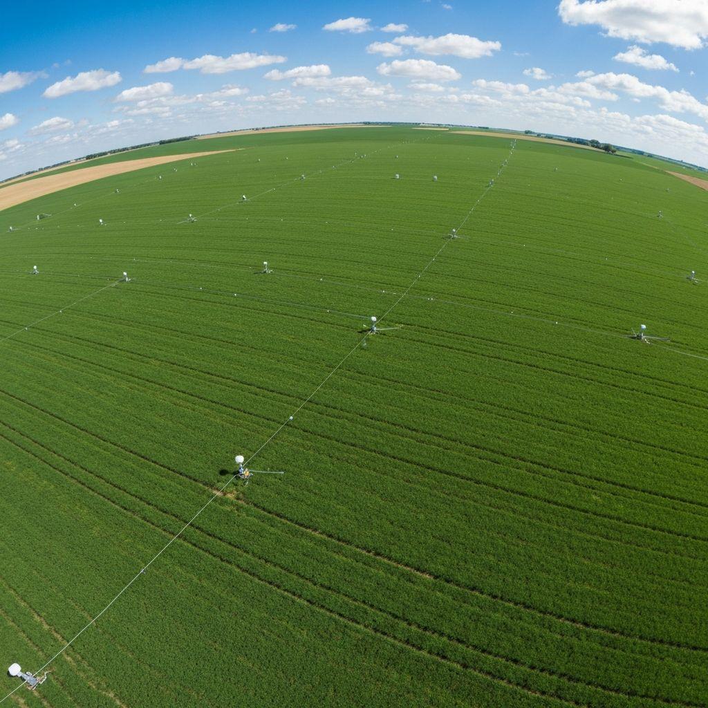
Compare current conditions with an appropriate historical window.
Use precipitation and vegetation signals together.
Screen administrative areas, watersheds, or agricultural zones.
Track relevant earth-observation, weather, and authoritative hazard inputs.
Compare the signal with mapped people, parcels, infrastructure, or ecosystems.
Confirm significance with current local and authoritative information.
Share a time-stamped situation view and document response actions.
 Outputs
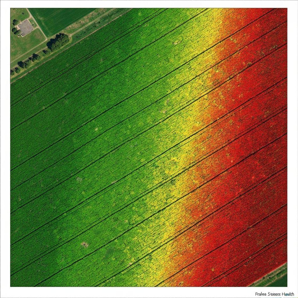
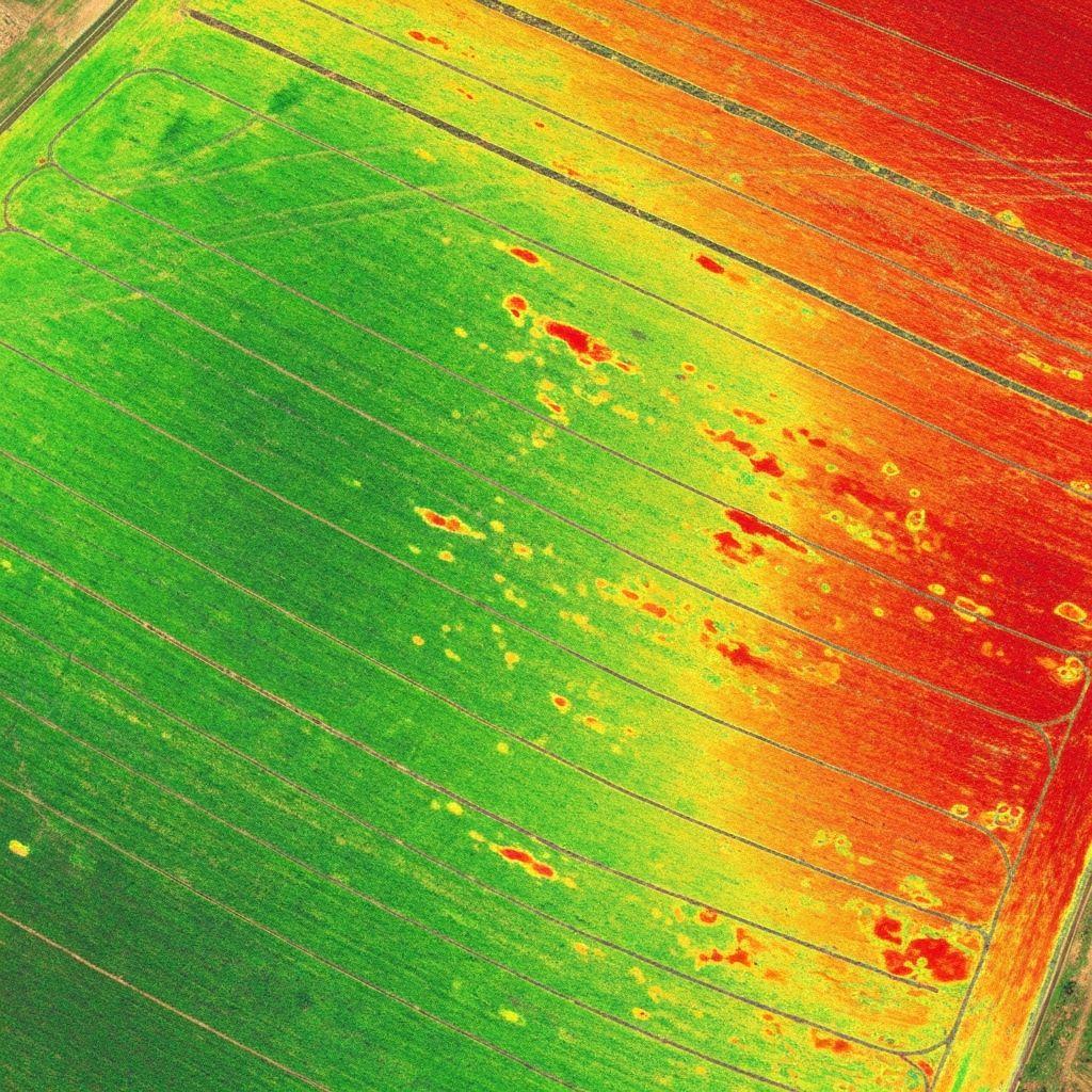
Spatial variation in relevant drought indicators.
A time series with assumptions and data limitations.
This planned capability is decision support, not an official public-warning service or a replacement for emergency authorities.
Contact Earthasoft to discuss the roadmap and receive availability updates.
Request launch updates