Historical context
Compare like periods and account for seasonal variation.
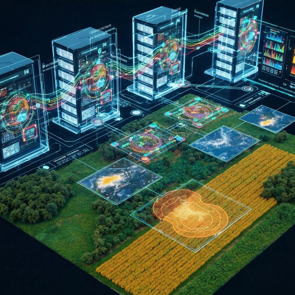
What it covers
Compare like periods and account for seasonal variation.
Find localized differences within a field or monitored area.
Rank unusual signals for evidence review and field follow-up.
Workflow
Choose a field, period, operational decision, and available evidence.
Bring together permitted imagery, indices, weather, water, and activity records.
Generate a structured explanation, uncertainty, and proposed follow-up checks.
Apply human and domain judgment before acting on a recommendation.
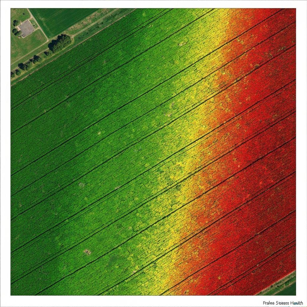
 Outputs
Prioritized candidates with location and observation date.
Relevant imagery, trends, and uncertainty for review.
Cella outputs are model-assisted interpretations, not guaranteed diagnoses, forecasts, or professional advice.
Create an account or sign in to explore the available Earthasoft workflow.
Create an account