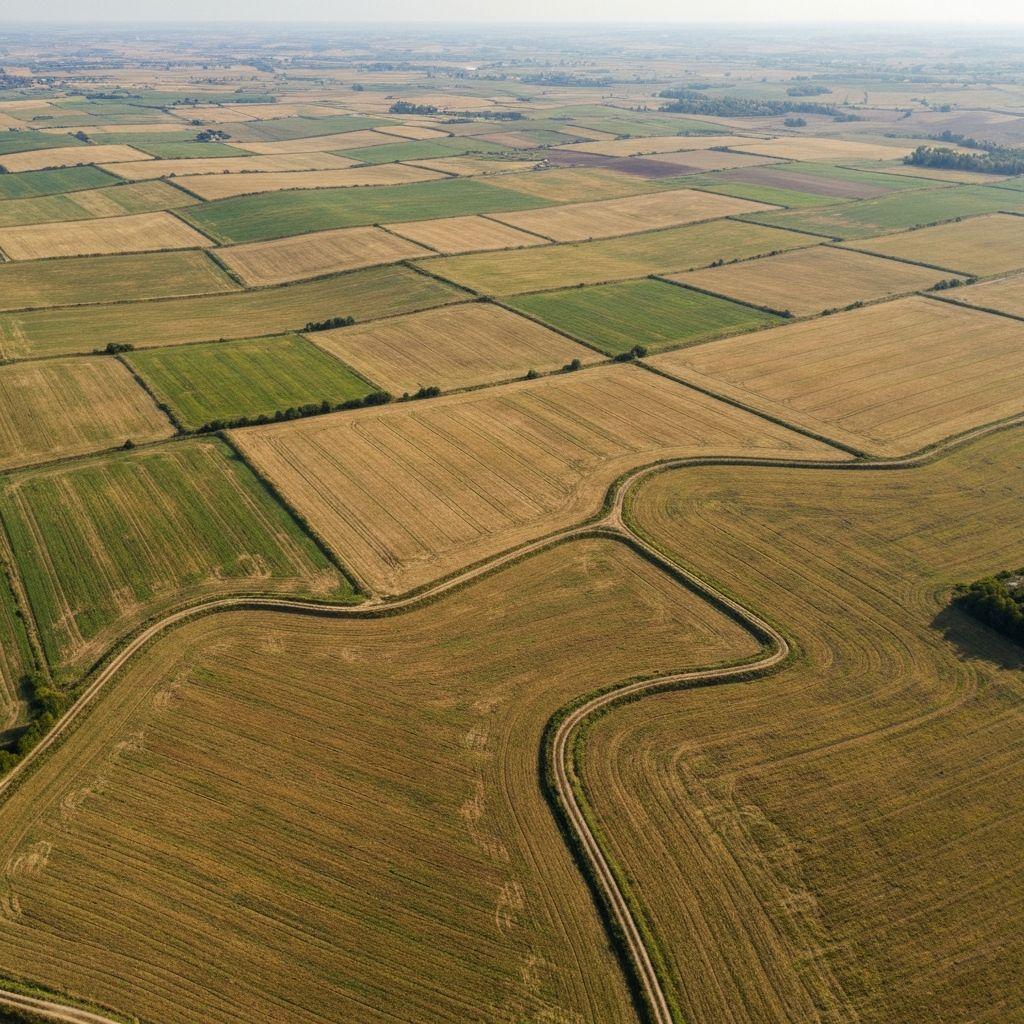
Government scenario
Registry data quality review
A land team screens duplicate geometry, overlap, missing fields, and evidence before authorized correction.
Example scenarios
Government scenarioA land team screens duplicate geometry, overlap, missing fields, and evidence before authorized correction.
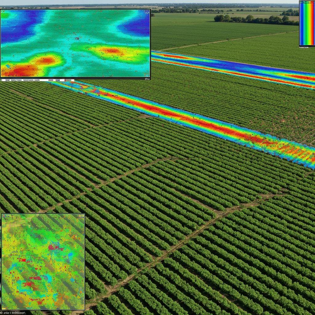
A reviewer combines verified parcel context with time-stamped crop observations and explicit exceptions.
A field team turns unusual vegetation patterns into prioritized visits and recorded findings.
An insurance team gathers parcel, date, imagery, weather, and field evidence for human claims review.
These are design examples, not published customer deployments, measured outcomes, or endorsements.
Share the decision, users, evidence, and geography you need to support.
Discuss your use case