AI-assisted proposals
Generate candidate edges where imagery and model confidence allow.
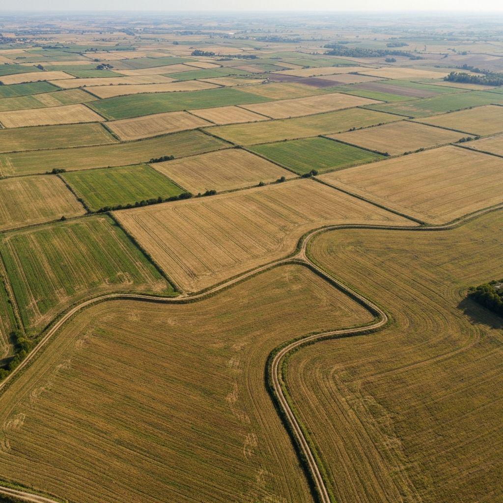
What it covers
Generate candidate edges where imagery and model confidence allow.
Move, add, or remove points when local knowledge improves the result.
Compare calculated area and geometry before approving a record.
Workflow
Draw, upload, or extract a candidate parcel boundary.
Review geometry, overlaps, identity details, and supporting documents.
Create a persistent parcel record and connect it to authorized people or systems.
Use the verified parcel in monitoring, certification, finance, and reporting workflows.
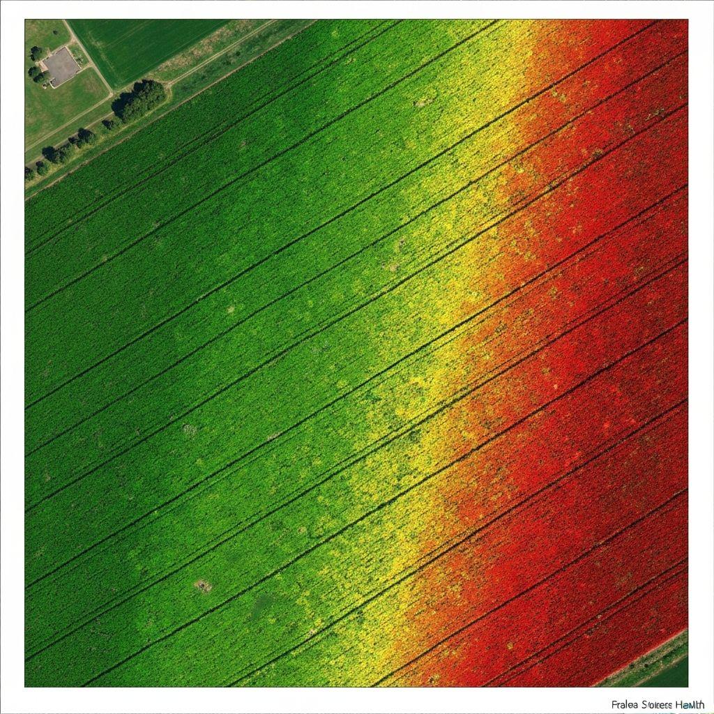
 Outputs
Editable parcel or field boundary suggestions.
Imagery and measurements that support confirmation.
Parcellar supports evidence-led land workflows; it does not create legal title or replace a licensed survey, cadastral authority, court, or statutory registration process.
Create an account or sign in to explore the available Earthasoft workflow.
Create an account