Multiple capture paths
Start from map drawing, coordinate files, or existing spatial records.
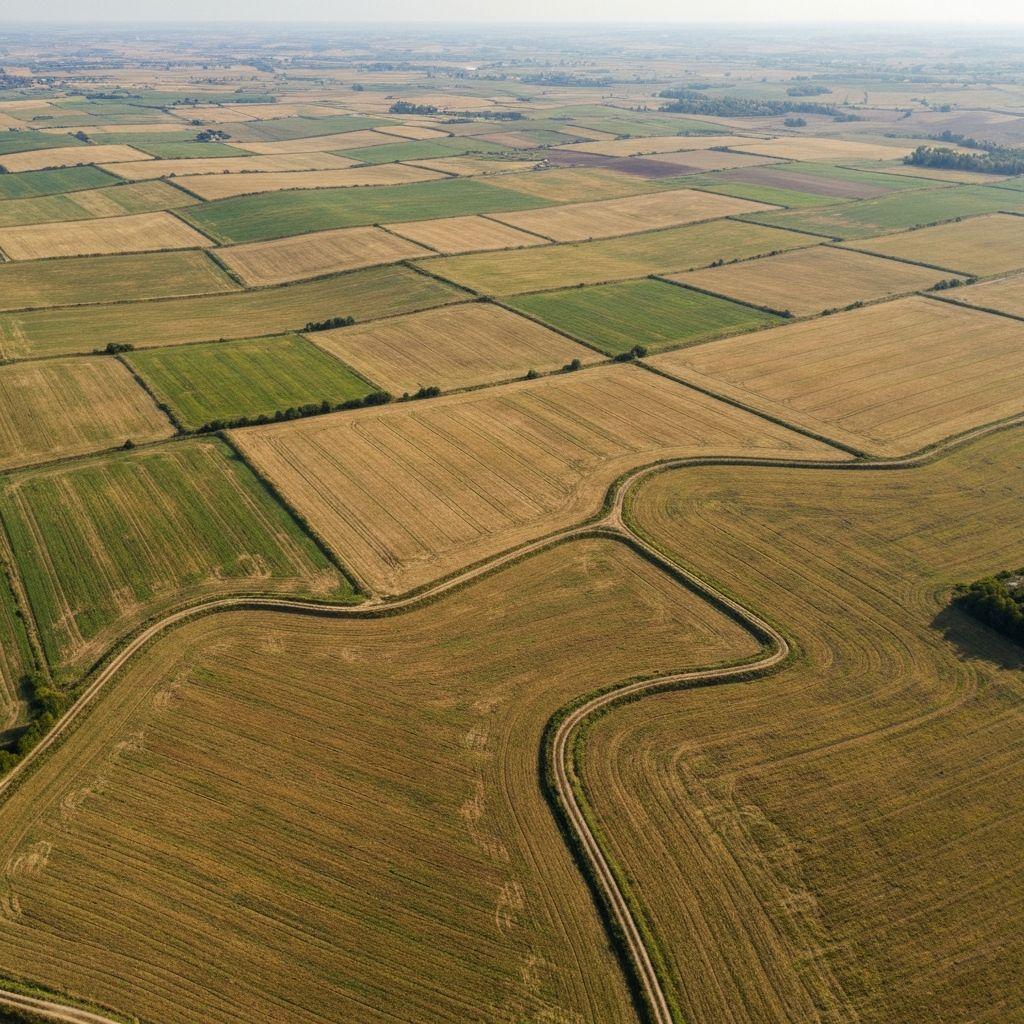
What it covers
Start from map drawing, coordinate files, or existing spatial records.
Check shape, area, closure, and obvious geometry issues before saving.
Attach operational identifiers and permitted descriptive information.
Workflow
Draw, upload, or extract a candidate parcel boundary.
Review geometry, overlaps, identity details, and supporting documents.
Create a persistent parcel record and connect it to authorized people or systems.
Use the verified parcel in monitoring, certification, finance, and reporting workflows.
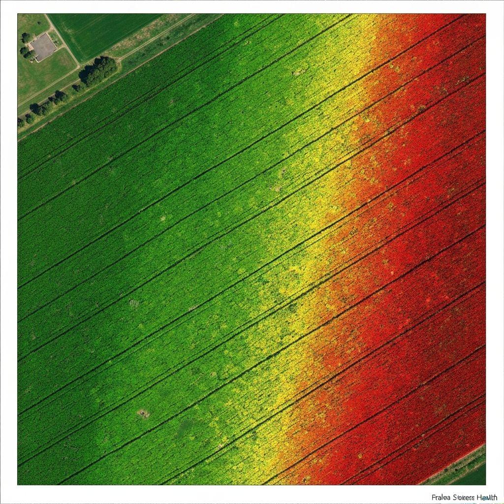
 Outputs
A reviewable polygon with an auditable digital record.
A boundary ready for monitoring and approved integrations.
Parcellar supports evidence-led land workflows; it does not create legal title or replace a licensed survey, cadastral authority, court, or statutory registration process.
Create an account or sign in to explore the available Earthasoft workflow.
Create an account