Parcel evidence
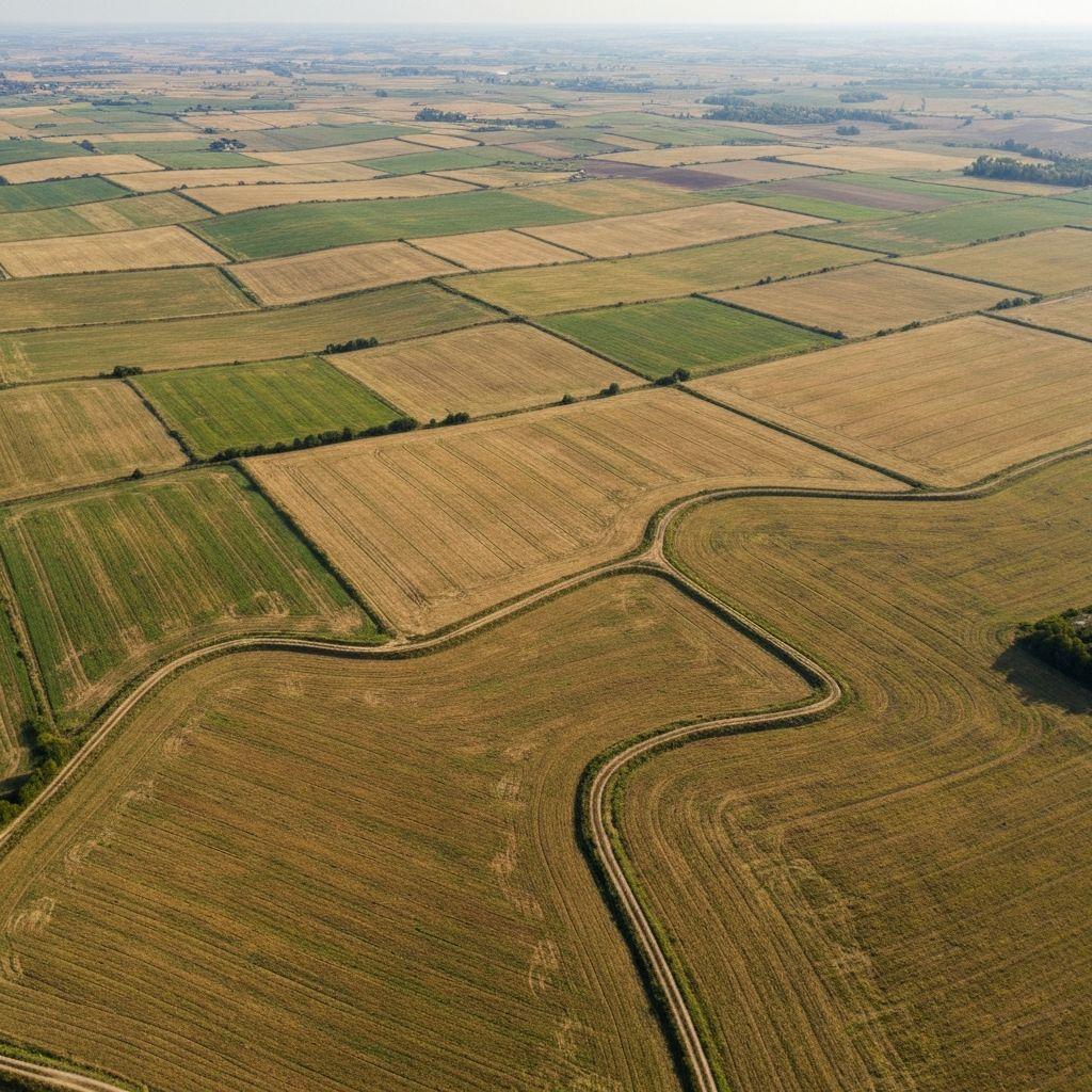
Review the mapped location, area, and supporting record references.
What it covers
Review the mapped location, area, and supporting record references.
Connect verified parties to the parcel under controlled access.
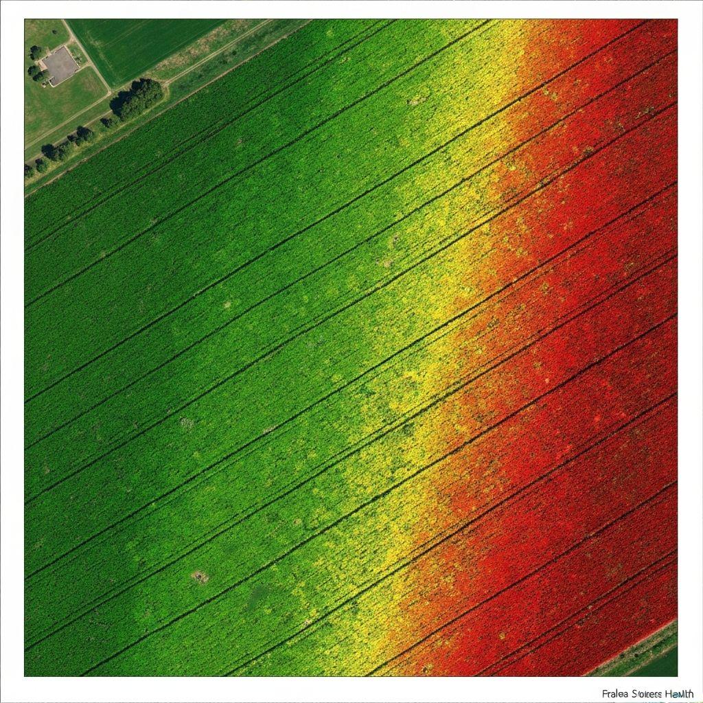
Add crop and environmental signals to a broader assessment.
Workflow
Draw, upload, or extract a candidate parcel boundary.
Review geometry, overlaps, identity details, and supporting documents.
Create a persistent parcel record and connect it to authorized people or systems.
Use the verified parcel in monitoring, certification, finance, and reporting workflows.
 Outputs
Consistent parcel evidence for an authorized credit process.
Missing, conflicting, or stale information that needs attention.
Parcellar supports evidence-led land workflows; it does not create legal title or replace a licensed survey, cadastral authority, court, or statutory registration process.
Sign in to see the tools available to your organization and assigned role.
Sign in to check access